HIKING
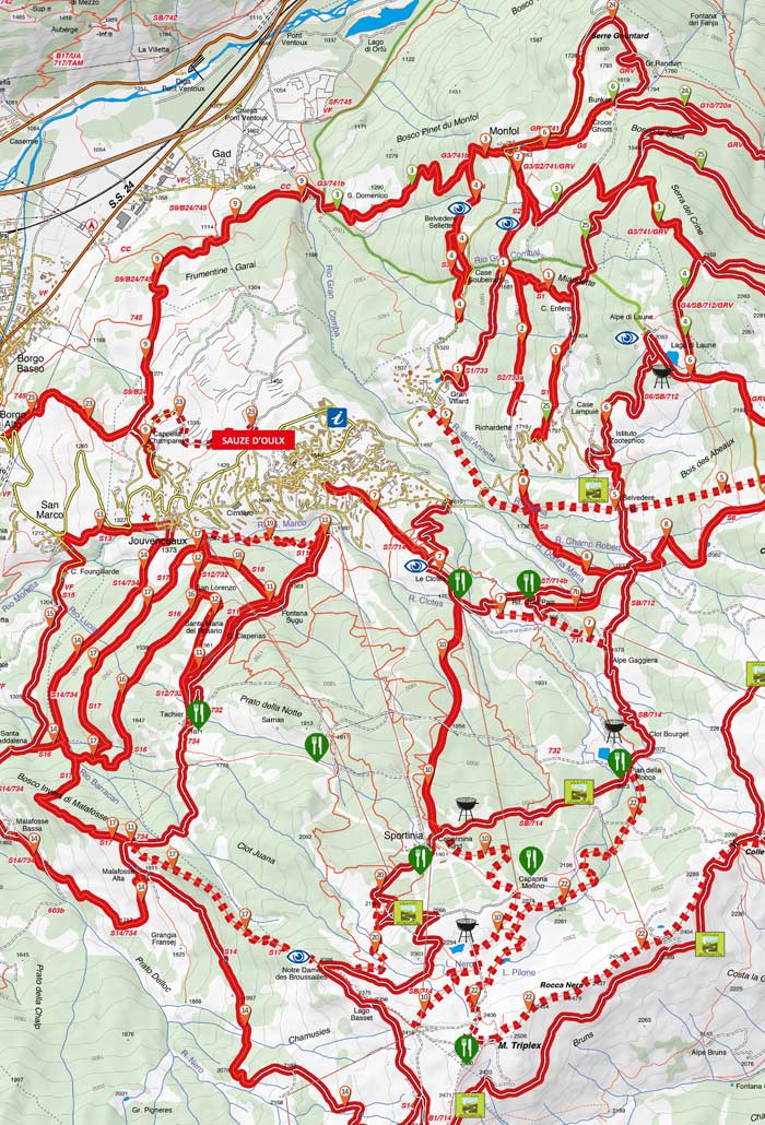
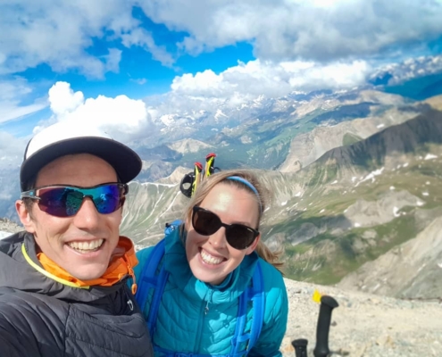
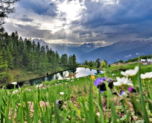
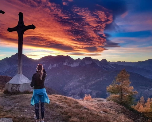
There a hundreds of kilometers of hiking trails close to the Genzianella for people of all abilities; whether that be a casual walk to a mountain restaurant or something more demanding. From the Gran Bosco Natural Park where you can walk through forest on clearly marked trails to mountain top hikes, there’s something for everyone from spring through to late autumn.
We have maps available to our guests along with advice and ideas for getting the most out of your stay whether hiking, cycling or releaxing.
SOME OF THE LOCAL HIKES
Testa dell’Assietta – Strada dei Cannoni
Difficulty: moderate
Distance: 10.1 km
Duration: 3:30 h
Ascent: 765 m
Highest point: 2,560 m
Lowest point: 1,795 m
Distance: 10.1 km
Duration: 3:30 h
Ascent: 765 m
Highest point: 2,560 m
Lowest point: 1,795 m
Malafosse Bassa – Malafosse Alta – Brousailles
Difficulty: difficult
Distance: 8.8 km
Duration: 3:45 h
Ascent: 1,080 m
Descent: 115 m
Highest point: 2,393 m
Lowest point: 1,348 m
Distance: 8.8 km
Duration: 3:45 h
Ascent: 1,080 m
Descent: 115 m
Highest point: 2,393 m
Lowest point: 1,348 m
Richardette – Monte Genevris (track n°8)
Difficulty: moderate
Distance: 4 km
Duration: 3:00 h
Ascent: 820 m
Highest point: 2,535 m
Lowest point: 1,695 m
Distance: 4 km
Duration: 3:00 h
Ascent: 820 m
Highest point: 2,535 m
Lowest point: 1,695 m
Lago Laune e Monte Genevris
Difficulty: difficult
Distance: 4.9 km
Duration: 2:30 h
Ascent: 700 m
Highest point: 2,535 m
Lowest point: 1,850 m
More hikes can be found on this page
https://www.outdooractive.com/en/hikes/sauze-d-oulx/hikes-in-sauze-d-oulx/182608816/
A map is also usually available for guests from the Genzianella reception
Hiking Videos From The Area
Hiking Monte Genevris – Sauze d’Oulx
La magia della montagna – Sauze d’Oulx
Monte Seguret a Oulx
M. Seguret e Vin Vert
Images: Dreamstime, Simo Eydallin


